The Coastal Classic race from Auckland to Russell is 119 nautical miles. Cruising yachts usually take it in stages.
Planning
YachtShare bookings run from one to 14 days, so a 10 to 14 day booking suits this trip. The 35-day plan, with 18 weekdays, 10 weekend days and 7 flexible extra days, suits members wanting long trips. See membership options.
The Bay of Islands is within the YachtShare fleet's survey limits under our Maritime NZ MOSS certification, so every yacht in the fleet can make the trip.
Weather windows. The open-coast legs need settled conditions. Keep spare days so you are never pushed into sailing home in a blow.
Crew. Take at least one other competent sailor. Our sailing courses can help build experience.
Fuel. Fuel is extra. Fill up at Westhaven before you leave.
The passage north
Westhaven to Kawau: about 25 nm, about 3 hours at 8 knots. See our Kawau Island guide.
Kawau to Tutukaka: about 55 nm, about 7 hours at 8 knots. The longest day, across Bream Bay.
Tutukaka to Whangaruru: about 25 nm, about 3 hours at 8 knots. Several sheltered bays.
Whangaruru to Whangamumu: about 17 nm, about 2 hours at 8 knots. A snug, uninhabited harbour with an old whaling station.
Whangamumu to Russell, round Cape Brett: about 18 nm, about 2¼ hours at 8 knots. Opua is about 4 nm further (about 30 minutes).
That is about 145 nm to Opua, or about 18 hours at 8 knots. Marsden Cove, just inside the Whangārei Harbour entrance, is an alternative to Tutukaka: about 43 nm from Kawau (about 5½ hours), with visitor berths and fuel.
The open coast
Bream Bay offers few bolt holes if the weather turns. Tutukaka's entrance needs care in an easterly swell, and Whangamumu gets groundswell in north to south-east winds.
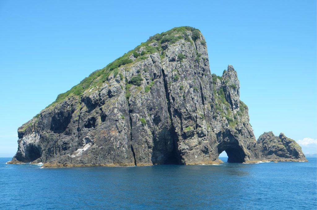
Cape Brett is the gateway to the bay, with Piercy Island (Motukōkako), the Hole in the Rock, just off it. The arch is not tall enough for a mast, and tidal streams and gusts around the cape can be strong, so give it a good berth.
Hole in the Rock, Motukōkako, off Cape Brett
Bay of Islands Marina, Opua
Bay of Islands Marina (often still called Opua Marina) has 420 berths and welcomes visiting boats. There is a 24-hour diesel and petrol fuel dock, free pump-out, showers, laundry and a café, with a boatyard, chandlery and marine trades close by.
Opua is New Zealand's main port of entry for small craft, with Customs and MPI officers on site. Book a berth before you go on 09 402 7124, and call the marina on VHF channel 73 as you arrive.
Anchorages in the bay
Choose your anchorage for the overnight wind.
Russell: sheltered from north to south-east, with better holding away from the steep beach. Matauwhi Bay is well sheltered but has many moorings.
Roberton Island (Motuarohia): famous lagoons and a snorkel trail. The south-side bay is popular, but strong northerlies funnel across the low saddle.
Urupukapuka Island: Otehei Bay is sheltered from most winds; Paradise Bay suits north-west to south-east winds.
Moturua Island: Mangahawea Bay is sheltered except from the west and south-west.
Te Puna and Kerikeri inlets: Te Puna is good in easterlies and one of the quieter corners. The Kerikeri River is shallow and beaconed, so go carefully.
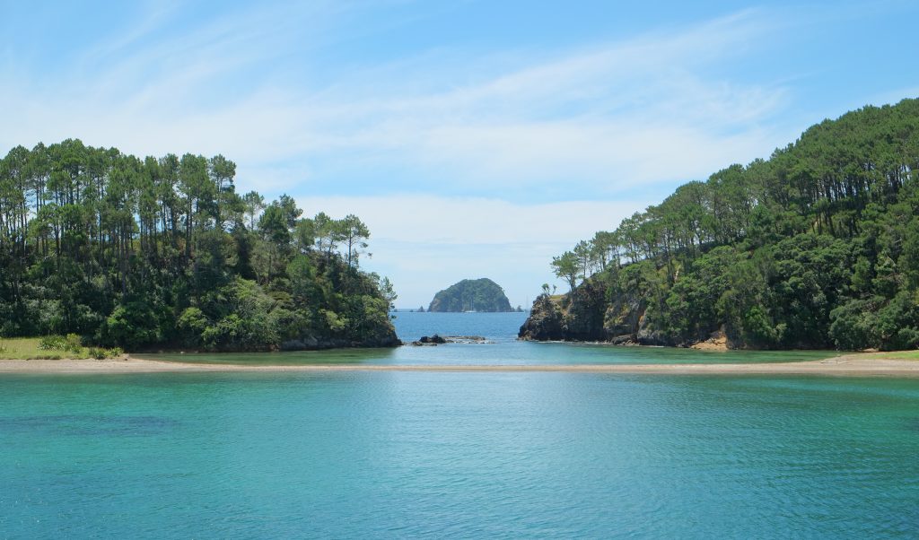
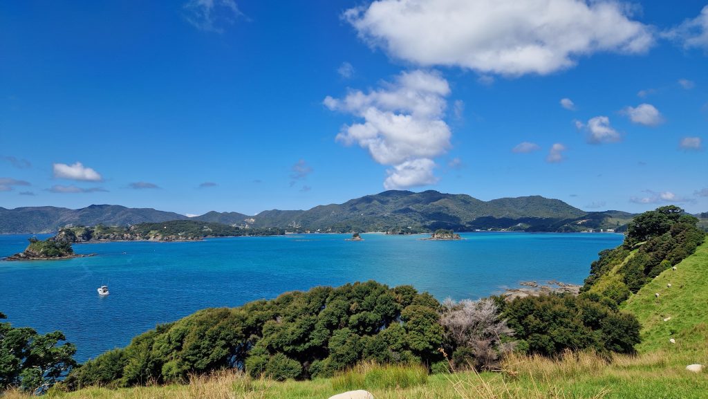
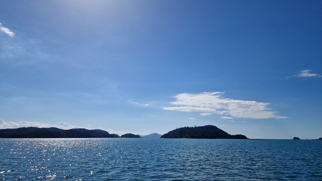
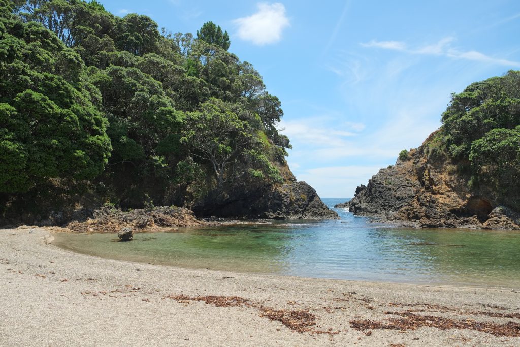
Urupukapuka IslandRoberton Island lagoon, towards MotuoiFrom Urupukapuka to Mahenotiti and Te AoMoturua and Motukiekie islandsBeach at the Roberton lagoon
Going ashore
Russell: Christ Church (1835) is New Zealand's oldest surviving church, with musket-ball holes in its walls. Pompallier Mission is nearby.
Waitangi Treaty Grounds: where Te Tiriti o Waitangi was first signed on 6 February 1840.
Paihia: the bay's holiday town, handy for supplies.
Kerikeri Basin: the Stone Store, New Zealand's oldest surviving stone building, and Kemp House.
Biosecurity and safety
Caulerpa. Anchoring and fishing are banned in Te Rāwhiti Inlet and Omākiwi Cove (red zone) except in emergencies or with a permit, with a check-and-clean zone around it. Caulerpa has also been found at Paroa Bay and around the islands, including Urupukapuka and Moturua. Check your anchor and chain before moving, bag and bin any seaweed, and check the maps at biosecurity.govt.nz/caulerpa.
No-take areas. No taking marine life around the Mimiwhangata peninsula or from Deep Water Cove to Oke Bay near Cape Brett.
Marine mammals. Stay 300 m from dolphins, whales and seals, and stop if one comes closer.
Pest-free islands. The seven Project Island Song islands, including Urupukapuka, Moturua and Roberton, are pest-free. Check the boat and dinghy for rats, mice, ants and skinks, land by open dinghy and leave pets aboard. Do the Pest Free Hauraki Gulf checks before leaving Auckland, and report pests to DOC on 0800 362 468.
Clean hull. Northland requires no more than light fouling. YachtShare's scheduled maintenance includes hull cleaning.
Forecasts and trip reports. Check the MetService marine forecasts for Bream Head to Cape Colville and the Bay of Islands. Log a Coastguard trip report for each leg (app, *500 or VHF). In an emergency, call Maritime Radio on VHF channel 16.
A suggested 14-day itinerary
Day 1: Westhaven to Kawau (25 nm, about 3 hours).
Day 2: Kawau to Tutukaka (55 nm, about 7 hours).
Day 3: Tutukaka to Whangaruru (25 nm, about 3 hours).
Day 4: Whangaruru to Whangamumu (17 nm, about 2 hours).
Day 5: Round Cape Brett to Russell and Opua (22 nm, about 2¾ hours).
Days 6 to 9: Roberton Island, Urupukapuka, Russell, Waitangi and Kerikeri.
Day 10: Opua to Whangaruru (39 nm, about 5 hours).
Day 11: Whangaruru to Tutukaka (25 nm, about 3 hours).
Day 12: Tutukaka to Kawau (55 nm, about 7 hours).
Day 13: Kawau to Westhaven (25 nm, about 3 hours).
Day 14: Spare weather day.
The round trip is about 290 nm, or about 36 hours at 8 knots.
Which YachtShare yachts suit?
Larger yachts are more comfortable on the open-coast passage. In our fleet, the Beneteau Oceanis 41 'Schonica', Dufour 412 'Incognito', Dufour 520 'Zen' and Fountaine Pajot Orana 44 catamaran 'The Bach' have the most room for crew and stores. Every yacht in the fleet is within survey limits for this trip under our Maritime NZ MOSS certification.
Planning note: distances and times are approximate, calculated at an average of 8 knots, and will vary with yacht, route, wind and tide. Always check current charts, forecasts and local notices, including caulerpa, rāhui and marine protection rules.
Island photos via Wikimedia Commons: Roberton Island lookout by Pseudopanax (CC BY 4.0); Urupukapuka Island by Brownfish (CC BY-SA 3.0); views from Urupukapuka and of Moturua by Petersmeter (CC BY-SA 4.0); Roberton lagoon, beach and Hole in the Rock by Pseudopanax (public domain).
Your Bay of Islands adventure starts at Westhaven
Since 1998, YachtShare has given Auckland sailors a fully maintained yacht with no boat to sell later. Plans start from $880/month + GST.